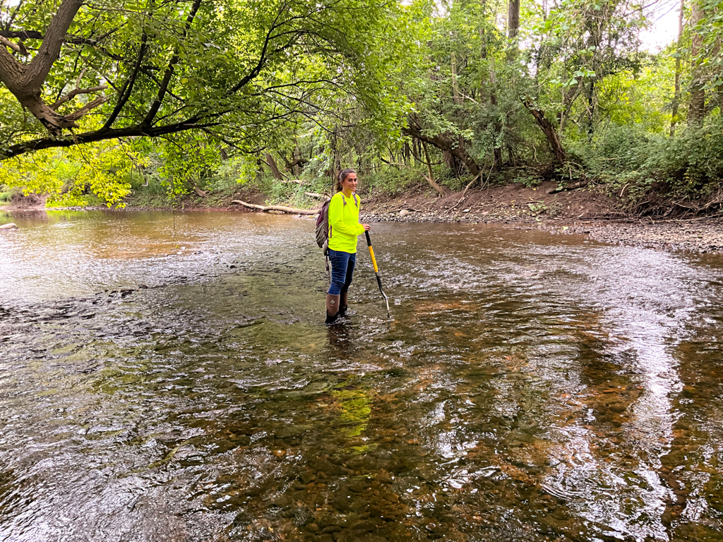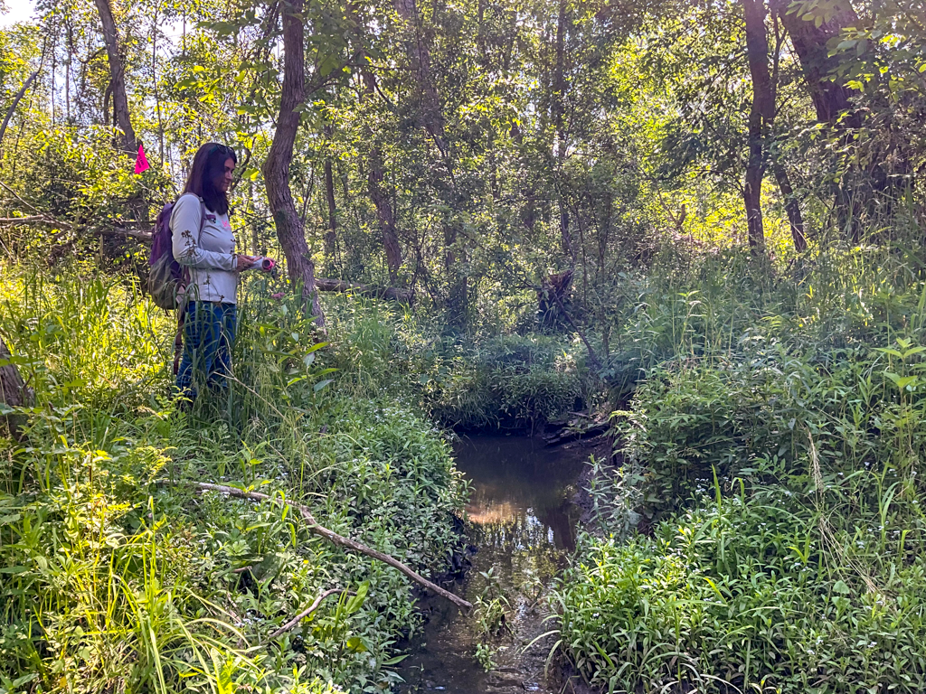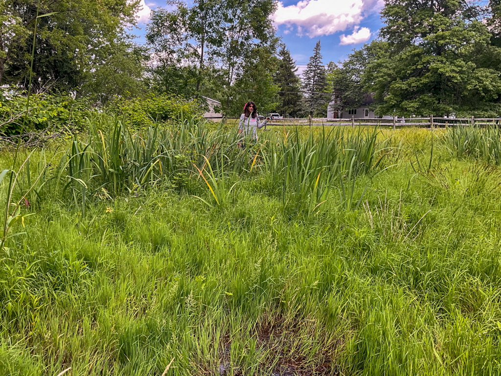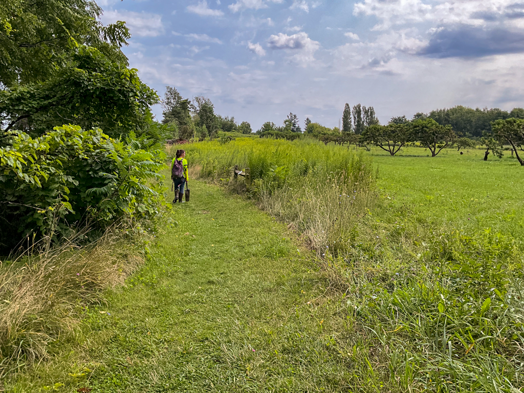
Across the 2025 and 2026 field seasons, Costich Engineering’s Environmental Services team, led by a Professional Wetland Scientist (PWS), completed 28 wetland delineations throughout the region. These projects have ranged in size and complexity, but they share an important lesson: identifying wetlands early in the planning process gives project teams more options and can help prevent costly surprises later in design.
With recent changes to New York State freshwater wetland jurisdiction and continued developments in the federal definition of Waters of the United States (WOTUS), understanding potential wetland constraints at the beginning of a project has become increasingly important.
Wetland delineations are sometimes viewed as something that can wait until permitting begins. In practice, waiting that long can create unnecessary complications.
A wetland delineation provides the project team with field-verified information about the location and extent of wetlands within a project area. When this information is available early, engineers, landscape architects, developers, and municipalities can incorporate wetland boundaries into the initial design rather than trying to redesign a project around them later.
There is also a practical reason to plan ahead. Wetland delineations are best completed when field conditions allow vegetation, soils, and hydrology to be properly evaluated. Waiting until late fall or winter to identify wetlands can complicate field investigations and potentially affect project schedules.
For projects expected to enter design or permitting in the coming year, completing field investigations during the growing season helps identify potential constraints early.
Timing also matters when requesting agency confirmation of a delineated boundary. Submittals made in late summer or early fall may not be field verified until the following spring, which can push project timelines out further.
Early wetland evaluation has become particularly important following significant changes to New York’s Freshwater Wetlands Act.
Beginning January 1, 2025, when the 2022 amendments to the Act took effect, the regulatory jurisdiction of the New York State Department of Environmental Conservation (NYSDEC) was no longer limited to wetlands appearing on the historic NYS Freshwater Wetlands Maps. This represented a major change for project planning because the absence of a mapped NYSDEC wetland could no longer be used as an indication that state wetland jurisdiction was unlikely.
The regulatory landscape changed again in April 2026, when an Albany County Supreme Court decision annulled the regulations NYSDEC adopted to implement the 2022 amendments. The amendments themselves remain in place, and under NYSDEC’s current implementation of the Freshwater Wetlands Act, the Department continues to exercise jurisdiction over Previously Mapped Freshwater Wetlands and wetlands that are 12.4 acres or greater in size.
NYSDEC’s informational wetland mapping remains a useful screening tool, but the Department specifically cautions that these maps cannot be relied upon to determine the presence or absence of regulated freshwater wetlands.
NYSDEC: Freshwater Wetlands Program
Following the U.S. Supreme Court’s 2023 decision in Sackett v. EPA, the U.S. Environmental Protection Agency (EPA) and U.S. Army Corps of Engineers have continued to refine how the definition of Waters of the United States, or WOTUS, is implemented under the Clean Water Act.
In November 2025, EPA and the Department of the Army proposed revisions to the WOTUS definition. In September 2026, the agencies issued a Supplemental Notice of Proposed Rulemaking seeking public input on additional regulatory alternatives as they work toward a final rule.
These proposals are not yet a final rule, but they demonstrate that federal wetland jurisdiction remains an evolving area of environmental regulation.
An important distinction for project planning is that wetland delineation and wetland jurisdiction are not the same thing. A delineation identifies the presence and physical boundaries of wetlands using established field methodology. A separate jurisdictional analysis determines whether those wetlands are subject to federal Clean Water Act jurisdiction.
As federal jurisdiction continues to evolve, having a well-documented wetland delineation provides the baseline information needed to evaluate jurisdiction and determine whether coordination with the U.S. Army Corps of Engineers may be appropriate.
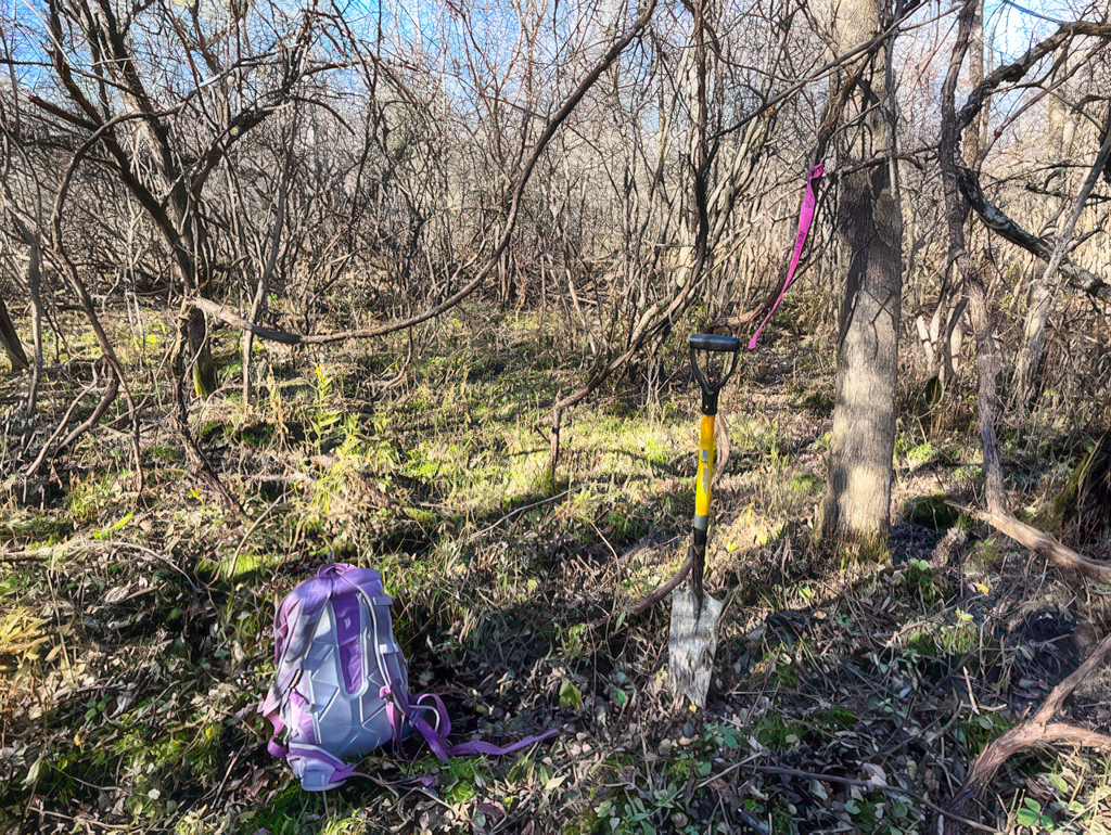
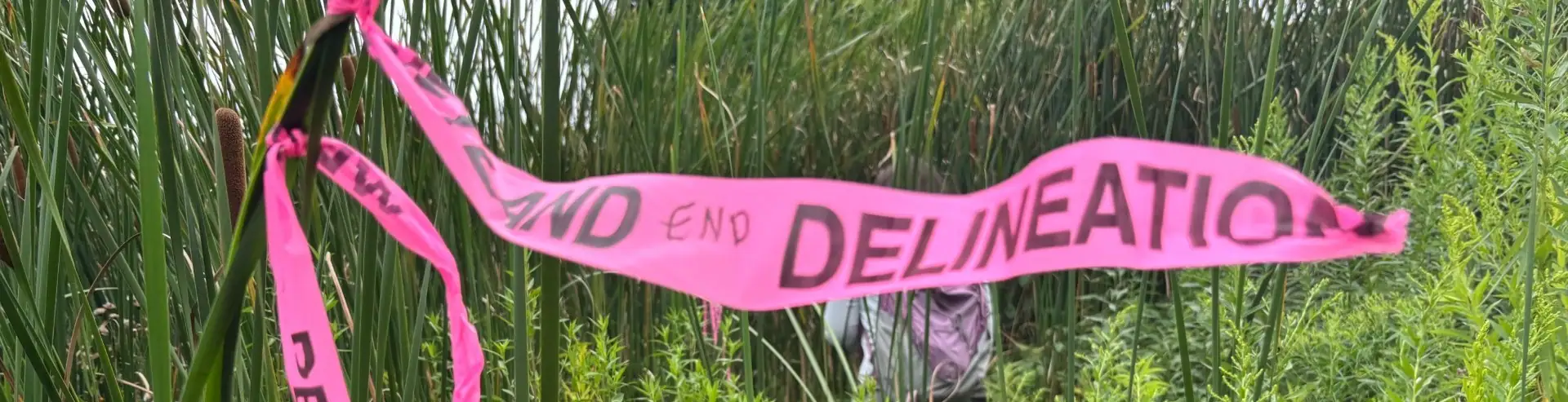
Because Costich provides environmental services alongside land surveying, civil engineering, and landscape architecture, wetland findings move directly into design. Our biologists flag boundaries in the field, our surveyors locate and map them, and our engineers and landscape architects plan the site around them, all within the same team. That continuity means constraints are accounted for from the first concept rather than discovered during permitting.
With state and federal jurisdiction both still shifting, a well-documented delineation gives project teams a reliable starting point regardless of how the rules settle.
Planning a project for the coming year? Completing field investigations before the end of the growing season, or scheduling them for early spring, keeps wetland constraints from driving the schedule.